Water Quality Monitoring
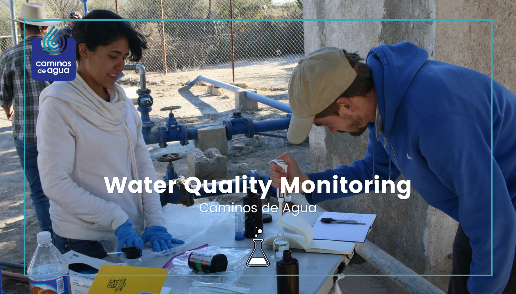
Since 2012, we have continuously sampled and tested water quality from rural wells and urban taps throughout the watershed. We have tested more than 280 sites throughout the region, and we work closely with community groups like United Communities for Life and Water (CUVAPAS) and Pozo Ademado Community Services (SECOPA) to inform rural villages of their water quality issues. We collaborate closely with research institutions like Texas A&M University, the University of Guanajuato, Kansas State University, and Northern Illinois University to undertake and validate these studies.
Recently, we’ve begun incorporating other indices into our monitoring program, including scarcity, historical water access, cost, and community water conflicts; developing a more complete understanding of regional water issues.
We believe in "open-data." The water quality data we collect is shared openly with those affected and the greater general public. We also share our data with the National Water Quality Inventory (INCA in Spanish), and we post water quality test results on our interactive map (below). We provide public datasets and all of our records are available for public inspection upon request.
On this page we invite you to explore our water quality map, which we regularly update with new sites as well as new parameters. Here you can also find information on our private testing services, if you wish to test your own water.
WATER QUALITY MAP
In urban areas such as San Miguel de Allende, water quality in a particular location can change quickly and constantly, even sometimes on the scale of days. This is because urban areas tend to be served by many different wells, and local water authorities often mix water from different wells before it is sent to your tap. The way in which this water is mixed can be changed at any time, and this sometimes happens frequently.
Given the insecurity of our water resources throughout the region, we recommend that everyone, regardless of their current water quality, takes steps to substitute their drinking and cooking water sources with safe and healthy alternatives, as outlined here.
For the best viewing experience, we recommend NOT using Safari to explore this map.
Chrome, Firefox, Explorer, Opera and Edge all offer excellent browser viewing experiences. Double-click or 'shift-click-drag' to zoom into certain regions.
This map is the culmination of years of water quality testing in rural well sites and urban taps. We are extremely thankful for the ongoing support from Texas A&M University, University of Guanajuato, Kansas State University, and of course, Northern Illinois University who started off this program. It also contains data collected from 2012 to 2019 by the National Water Commission (CONAGUA), of the Mexican federal government via their 'national water quality monitoring network'. This data, referred to as tested by CONAGUA on the map, makes up most of the data points outside of the state of Guanajuato and can be found here. We are also grateful to our community partners - CUVAPAS, SECOPA, and the San Cayetano Community Center. And a very special thanks to all of those who have invited us into their communities to muck around with your most valuable resource.
Our Impact
 Water Quality Monitoring by the Numbers
 Since 2012, we have continuously sampled and tested water quality from rural wells and urban taps throughout the watershed. We have tested more than 280 sites throughout the watershed region, and we work closely with community groups.
Show More
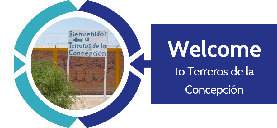 Welcome to "Terreros de la Concepción"
“I bathe as little as possible,” Ana’s mother shares with us, adding, “and I try to make sure my daughter only bathes a couple of times a week, but that’s harder with school and everything.” Ana must be around 9… maybe 10 years old. An age when basic hygiene often becomes a source of pre-adolescent shame.
Show More
Ana and her mother have been told repeatedly - by us I might add - that toxic levels of arsenic and fluoride contaminate their water. However, what they weren’t told is that arsenic and fluoride in the water are only dangerous when ingested. They pose no risk when in contact with the skin. Realizing the impact of providing incomplete information is a new sensation that is both harrowing and difficult to get past.
Ana looks down in embarrassment after her mother tells her to show us her teeth. We hadn’t asked, but I still feel ashamed. Ana's mother holds her daughter’s chin, and pulls down her lip anyway. The toxic levels of fluoride in her drinking water are working away on her teeth and bones. Her dental fluorosis is already severe.
Ana was born in a difficult part of the region. Her community, Terreros de la Concepción, or simply “Terreros,” lies on the west side of highway 57 - dividing the municipalities of San Diego de la Unión and San Luis de la Paz. This is the “hot zone,” where arsenic and fluoride levels are 6-12 times above World Health Organization (WHO) recommendations. Terreros is one of these extreme cases.
My partner begins explaining the Caminos de Agua ceramic filter, and as Ana's mother's eyes begin to light up, I swiftly jump in "...but it doesn't remove the arsenic or fluoride,” I bluntly clarify. There is no shortage of disappointment today.
As we say our good-byes, I am still disturbed by the bathing comment. I reaffirm to the family that there is no harm in washing with this water, and Ana’s mother thanks us with visible relief. As I start the engine, I try to figure out if quelling this family’s shower fears today is a victory, or simply part of a larger failure. I think about the responsibility of testing people’s drinking water – our most intimate resource – and I wonder what other consequences our words and reports have had.
 Water Testing
We offer free standard testing and subsidized arsenic testing to study groups, community groups and to certain other groups who have made special alternative arrangements, to allow us to better monitor the water sources that serve large numbers of users.
Click here to test your water
